The Earliest Obtainable Printed Depiction of the Americas
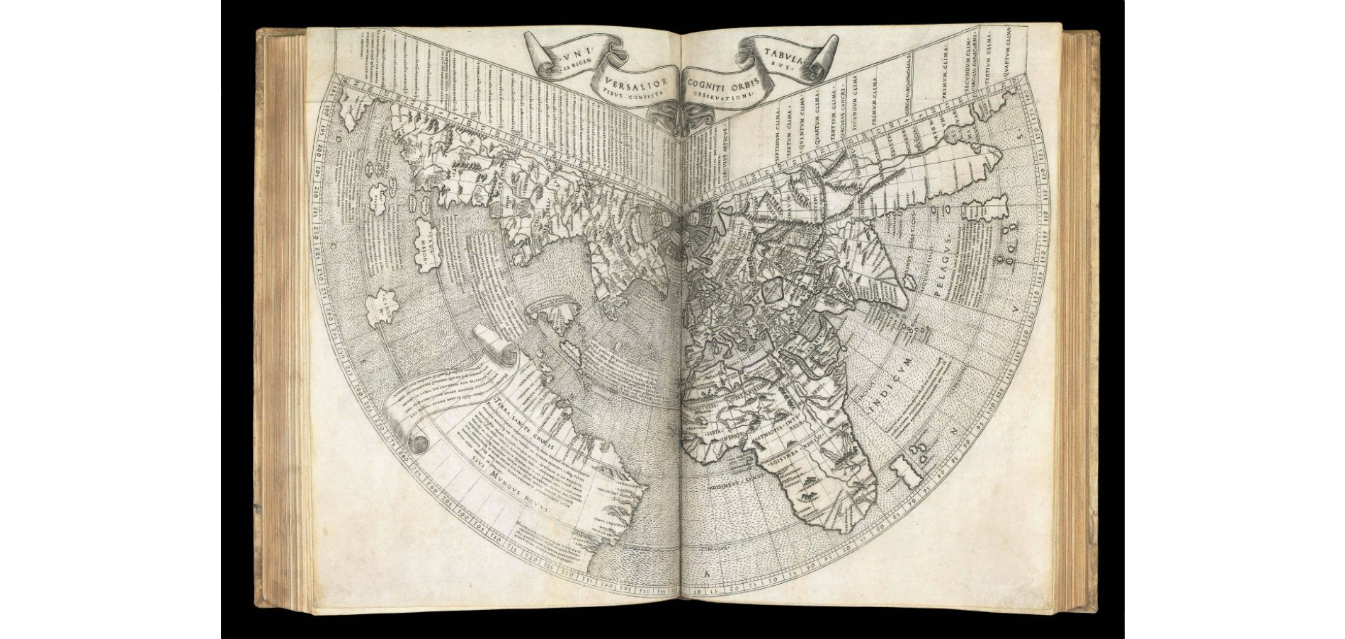


The Earliest Obtainable Printed Depiction of the Americas
By PTOLEMAEUS, Claudius, 1507
Price: £500,000
YOUR PURCHASE WILL EARN A LUXCASHBACK REWARD
YOUR PURCHASE WILL SUPPORT GOOD CAUSES VIA LUXGIVEBACK
Description
Author: PTOLEMAEUS, Claudius
Publication place: Rome
Publisher: [Colophon:] Explicat Planisphaerium Ptholemai recognitum diligentissime a Marco Beneventano Monacho Caelestinorum quod antea in multis etia antiquis exemplaribus latinus corruptissimum reperiebantur. Nec nõ Claudii Ptholemai a plurimis uiris utriusqß linguae doctiss. emendatu cum multis additionibus Rome Novitur impressum per Bernadinu Venetu de Vitalibus. Expesis Evagelista Tossino Brixiano Bibliopola. Impante Iulio II. Pont. Max Anno. III. Potificatus sui Die VIII. Septebr M.D.VII.
Publication date: 1507.
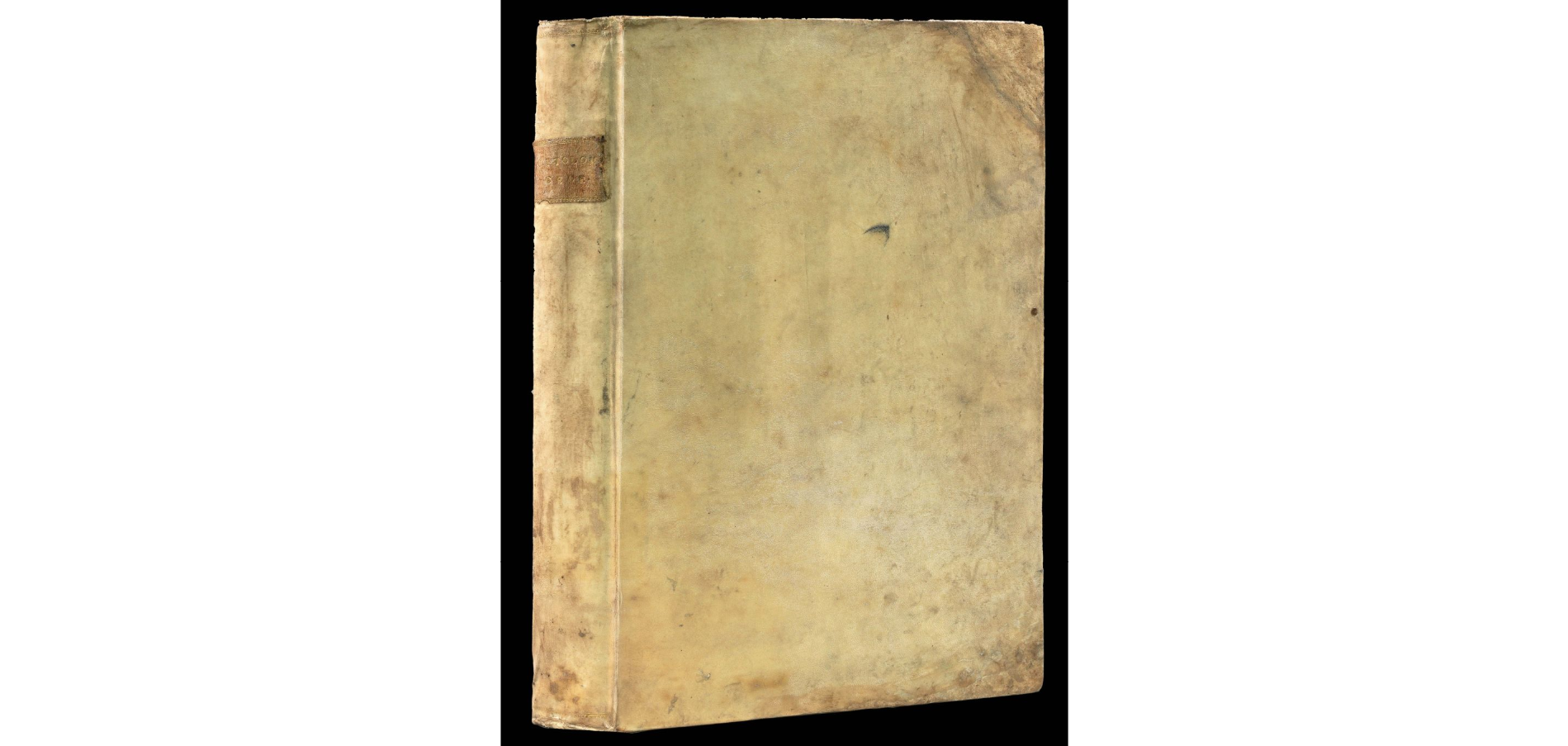
Physical description: Folio (403 by 275mm). 200 leaves, one of which is blank, comprising letterpress title, index, and text in double columns with 52 lines to a full column on 107 leaves, followed by one blank leaf, ornamental initials and woodcut diagrams in the text and full page woodcut “Sphaero in plano” on N1 recto, 6 leaves (of 14 of the “orbis nova descriptio” by Beneventanus normally found in the fourth (1508) edition), 34 double-page copper engraved maps on 68 leaves (one folding), and the treatise “De Locis” in 20 leaves, area of restoration to lower right corner of title, iron-gall ink marginalia (mainly confined to corrections on M8 recto and verso, and the addition of modern titles to the suite of 26 Ptolemaic “ancient” maps), relief shown pictorially, major toponyms underlined in manuscript in red ink on all maps (except that of the modern world), small area of early colour to relief in Arabian Peninsula on “Sexta Asiae”, “Quinta Europe” and “Sexta Europe” with old paper reinforcement on verso at centrefold, “Quarta Asiae”, “Duodecima et Vltima”, with small repaired tears to lower left and right margins respectively, six “modern maps” with old paper reinforcement to versos, “Tabula moderna Francie” trimmed into title at upper margin, “Tabula nova Italie” trimmed just into image at left margin, “Tabula moderna Polobiae, Ungarie, Boemie, Germanie, Russie, Lithuanie” trimmed into printed border at right, “Tabula Moderna Hispanie” trimmed into printed border at foot. Eighteenth century vellum, “C. Ptolom. Geog,” morocco lettering piece to flat spine, some restoration to outside corners of both covers.Collation: A‑C8, D‑E6, F‑O8 (O8 blank), a6, 34 maps on 68 leaves, Aa-Bb8, Cc4Watermark: Swan surmounted by a crown above a key (Briquet 12163). Countermark: T within a circle surmounted by a cross (Briquet 9134).
Inventory reference: 12891